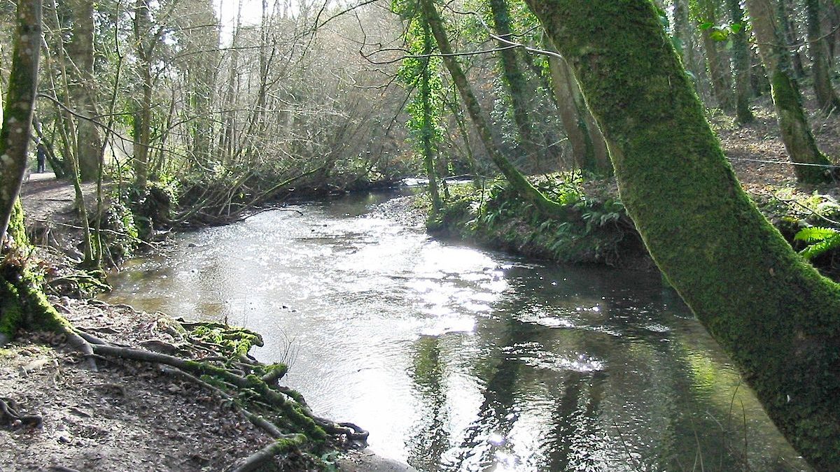
Rivers are facing pollution from a number of sources including sewage and plastics. Image: Smalljim, CC-BY-SA-3.0
Share
The shocking extent of raw sewage discharges into England’s rivers has been revealed by recent investigations, with over 400,000 pollution incidents recorded in 2020 alone.
Some discharges are legal, with water companies permitted to dump sewage following extreme weather conditions or when their infrastructure is close to capacity.
A map has been created by The Rivers Trust, using data from event duration monitors showing the length of time over which sewage was dumped into rivers across the country.
You can either type in your postcode or zoom into the map to see the location of storm overflow pipes near you and find out how much sewage has been discharged from them.
Advertising helps fund Big Issue’s mission to end poverty
Advertising helps fund Big Issue’s mission to end poverty
It comes after the Environmental Audit Committee last week led an evidence session on water quality in rivers. During the session executives from England’s largest privatised water companies were questioned about their responsibility for discharges and how they intend to stop them.
When asked whether they would be willing to work under a target to end sewage spills by 2030, all five bosses declined to commit, stating they had an “ambition” to do so but would need more investment.
It was also claimed that technology with the ability to measure the volume of sewage discharges isn’t currently available, in spite of monitoring likely to become a legal requirement in the upcoming Environment Bill.
In a bid to inform the wider public about the amount of sewage in rivers, the Rivers Trust produced the map showing where sewage discharges are taking place.
Currently, storm overflow pipes where sewage is discharged from are either unmonitored or fitted with an “event duration monitor” which measures the start and end time of spills.
The Rivers Trust hopes their map will help swimmers make informed decisions about safe locations for a dip.
They recommend not swimming downstream of the pipes, especially after wet weather.
The trust additionally hopes the map will incentivise members of the public to write to their MP about the poor state of their river or join a local campaign group to lobby against discharges.
Advertising helps fund Big Issue’s mission to end poverty